
 Gaby
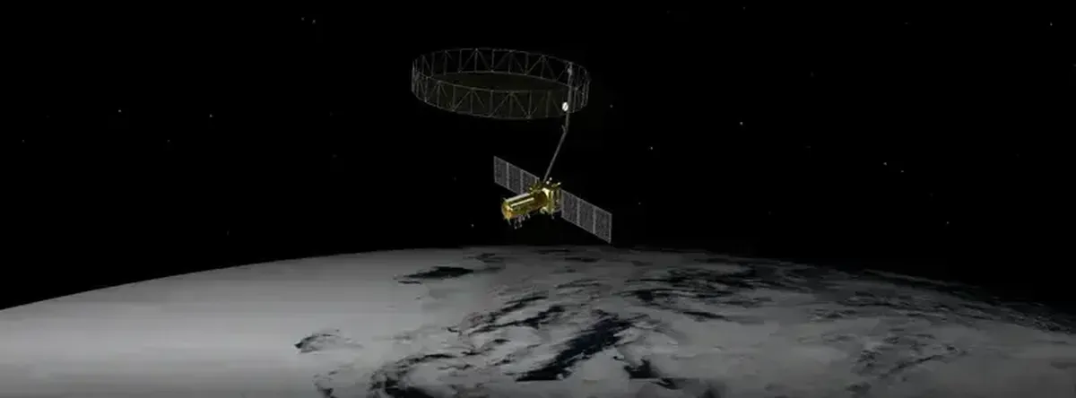
GabyThe NISAR satellite will be launched on June 18 from the Satish Dhawan Space Centre in Sriharikota, on the Bay of Bengal. The $1.5 billion research satellite will make real-time observations regardless of the time of day or weather.
The NISAR, equipped with a 12-meter radar antenna, will monitor soil conditions and the water moving through them with unprecedented detail. The information will be extremely useful for farmers, climatologists, and disaster response teams.
What makes this satellite special?
Satellites that monitor changes on Earth’s surface have become valuable scientific tools. For decades they have provided data for weather forecasting and emergency response programs, and they have tracked long-term changes in ecosystems and climate.
Most observation satellites rely on reflected sunlight to capture images. That means they can only take pictures during the day and when skies are clear, which is a problem in cloudy regions like the tropics or when nighttime images are needed.
The NISAR satellite — a joint project of the National Aeronautics and Space Administration (NASA) and the Indian Space Research Organisation (ISRO) — solves this problem by using synthetic aperture radar (SAR) technology. SAR is what gives the satellite its name: NASA–ISRO SAR.
How SAR works
SAR technology was developed in the early 1950s for military use. Instead of passively capturing sunlight, SAR satellites actively send a radar signal toward the surface and measure the return — like using a flash in a dark room.
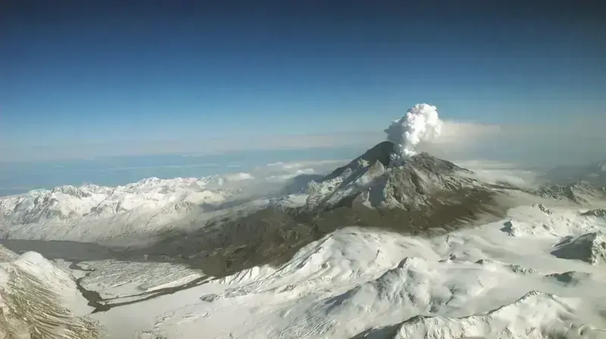
Because of that, SAR satellites can image the planet day or night. Radar waves can pass through most clouds, smoke, and ash, so SAR can capture surface conditions even during floods, wildfires, or volcanic eruptions.
Radar can also penetrate dense vegetation. For example, the European Space Agency used SAR’s vegetation‑penetrating ability in its Biomass mission to map the three‑dimensional structure of forests and measure how much biomass and carbon they store.
Sang‑Ho Yun, director of the Earth Observatory at the Singapore Remote Sensing Laboratory, is a leading advocate for using SAR in disaster management. Over the past 15 years Yun has used SAR data to map areas hit by hundreds of natural disasters, including earthquakes, floods, and typhoons. NISAR’s work will draw on his experience.
Monitoring Earth’s ecosystems
Scientists have been developing NISAR for over 10 years. Ultimately, it has become one of the most expensive satellites for Earth imaging in the history of space exploration.
Satellite data will be freely available worldwide. It will provide high-resolution images of all land and ice surfaces twice every 12 days.
In terms of scale, its coverage will be similar to ESA’s SAR satellites, such as Sentinel-1. However, unlike those satellites, NISAR will use two radar frequencies rather than one. It will also produce higher-resolution images and will be able to cover a larger area of Antarctica than the Sentinel-1 satellites.
NISAR will monitor forest biomass by penetrating deep into vegetation. This is important for studying ecosystems with high biodiversity and significant carbon storage. The satellite will also detect changes in surface elevation by a few centimeters or even millimeters. It will monitor dam subsidence and map groundwater levels. The maps will help disaster response teams better assess damage and plan their actions.
NISAR will also be useful for agriculture: it can measure soil moisture under any weather conditions, helping determine irrigation timing and potentially boosting crop yields.
Other key areas of the NISAR mission include tracking the movement of Earth’s ice sheets and glaciers, monitoring coastal erosion, and detecting oil spills.
This ambitious satellite mission should bring many benefits to science and society.