
 Gaby
Gaby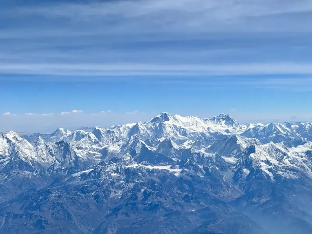
Mount Everest (known as Chomolungma) stands at a staggering 8,849 meters, making it the tallest mountain in the world. But how did scientists determine its exact height? And how do researchers figure out the elevation of any given mountain? Many of us, sitting in math class, have thought, “I’ll never use trigonometry in real life.” But it turns out trigonometry is essential. For instance, the most traditional method of measuring a mountain’s height relies heavily on trigonometric skills, as reported by IFLScience.
The method, known as triangulation, requires knowledge of the distance between two points on the ground and the angles from those points to the mountain’s peak. Additionally, the person conducting the calculations must know the elevation of the point from which the mountain is being measured and must account for the curvature of the Earth. When it comes to measuring angles, precision is key. This is where a theodolite comes into play—a telescope-like optical instrument that can measure both horizontal and vertical angles. With two angles and the length of one side of a triangle, several trigonometric formulas (primarily the law of sines and Heron’s formula) can be applied. And voilà: the mountain’s height is determined.
The problem is that this method, while historically useful, isn’t the most accurate. For example, when British Army officer Sir Andrew Scott Waugh and his team measured Everest as part of the Great Trigonometrical Survey, they encountered interference from the Earth’s atmosphere. This extensive survey lasted much of the 19th century. Changes in air density can cause light to refract, a phenomenon called atmospheric refraction. This effect is more pronounced over long distances, making objects appear taller or shorter than they actually are and leading to inaccurate measurements.
Until recently, surveyors often used barometric altimeters, which estimate elevation from air pressure. The issue is that for every 100 meters of elevation gain, air pressure decreases by about 12 millimeters of mercury, so barometric readings can vary with weather and are easily thrown off. Because of that, the method wasn’t very accurate. Now the global positioning system (GPS) is widely used to measure mountain heights. GPS is especially valuable because a mountain’s height can change after geological events such as earthquakes.
The first person to calculate Everest’s height, in 1852, was Bengali-Indian mathematician Radhanath Sikdar (1813–1870), a key participant in the Great Trigonometrical Survey. He was the one who proved that Chomolungma is the highest point on the planet above sea level.